

1⁄1Tobruk
5
Comments
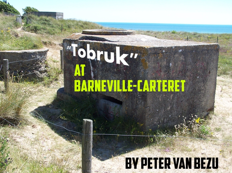
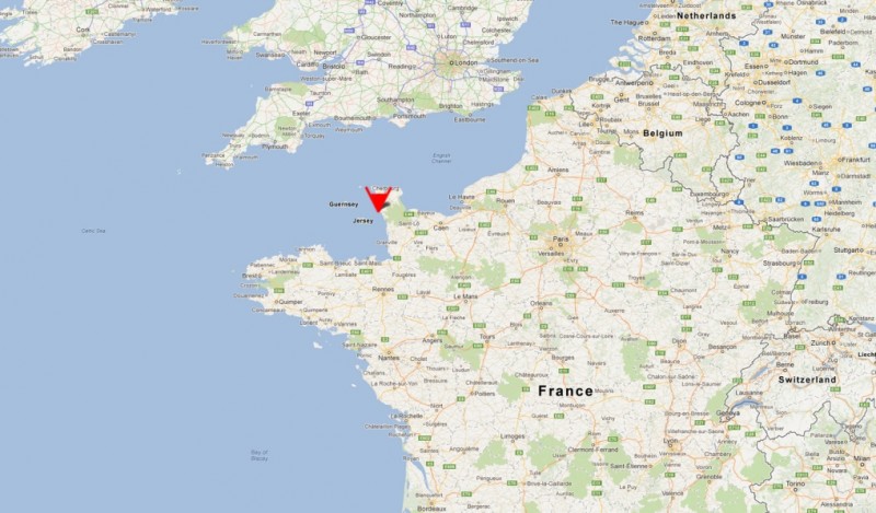
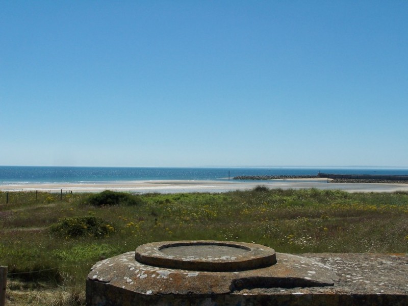
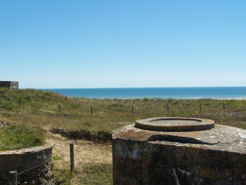
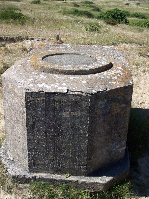
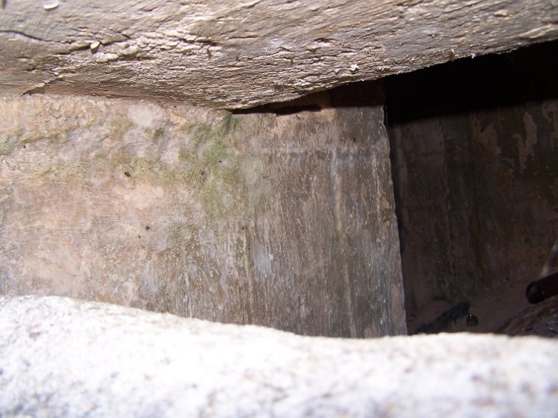
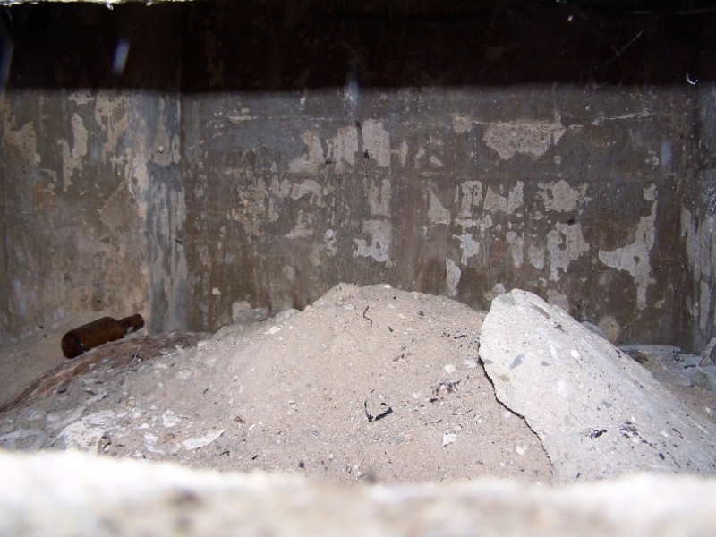
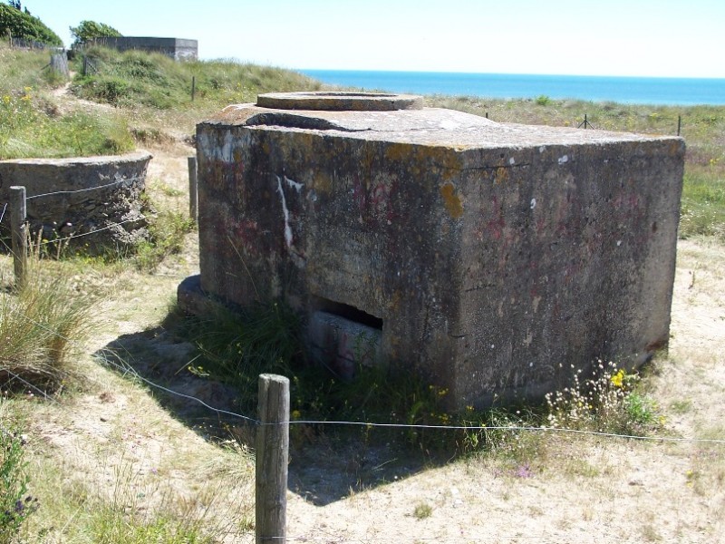
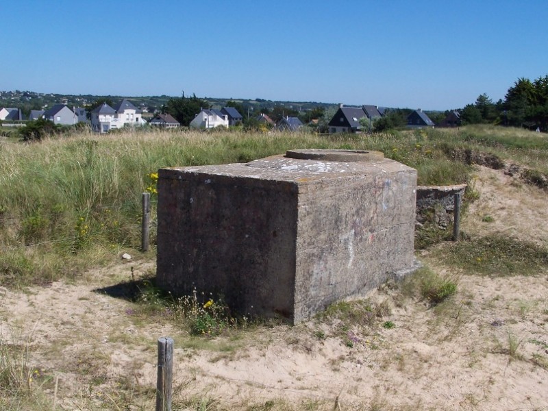
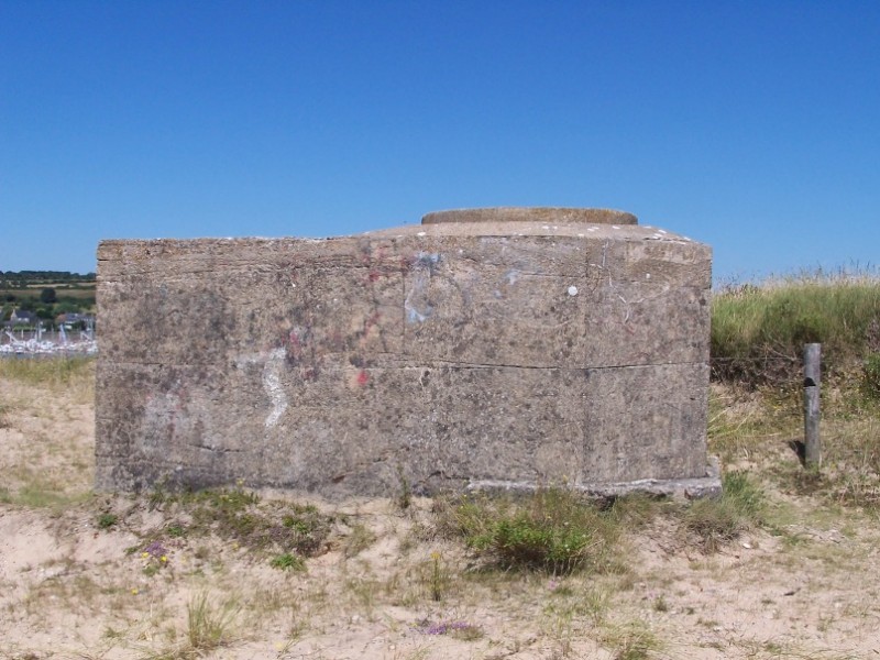
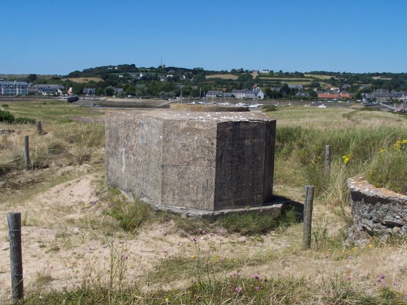
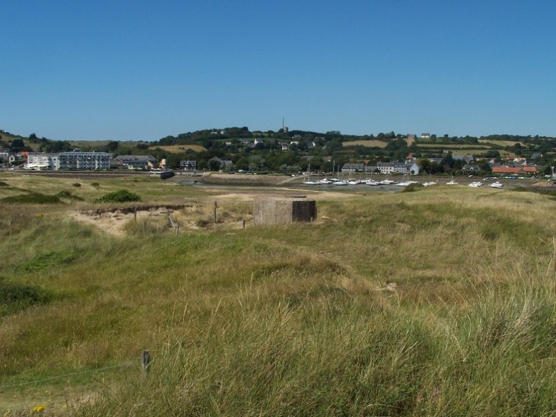
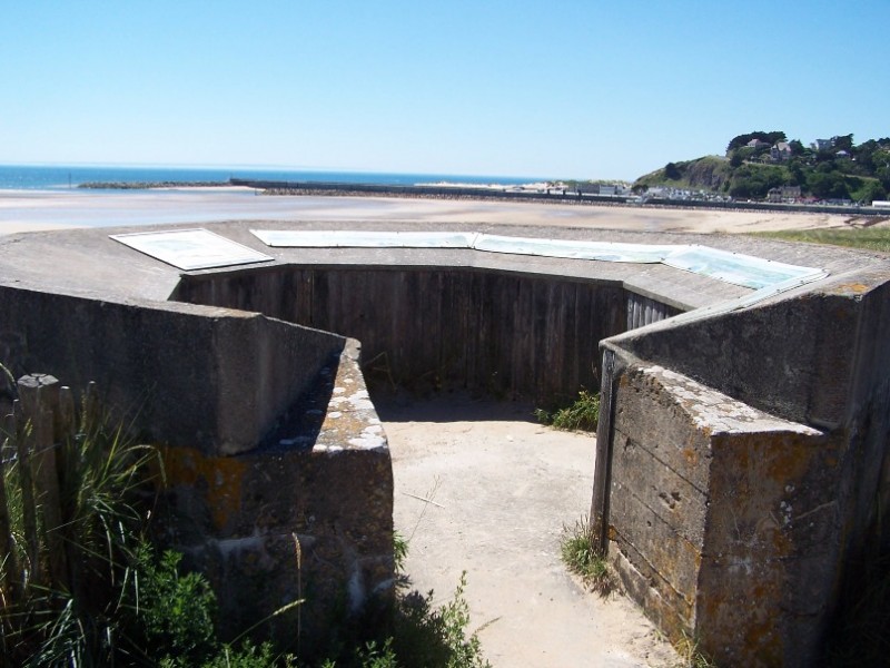
I've just returned from a trip to Normandy and I wanted to share my pictures. Here's the first series from the remaining "Tobruk" at Barneville-Carteret, according to Google Maps at coordinates: 49.373358,-1.780273
About the Author


FROM: NOORD-BRABANT, NETHERLANDS
Hi I'm Peter and I live in the Netherlands, near Eindhoven. Got back into modelling a few years ago with the 88 (Tamiya), since then I made numeral models. Just for the fun to get a nice model. See you around. Peter "Stoottroeper" is just the soldiername (like GI) in the regiment I was in, ...
Comments

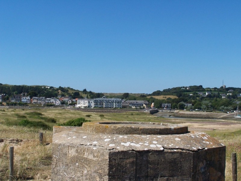
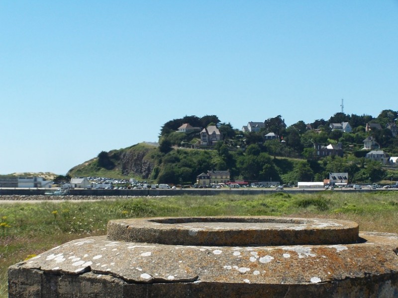
Just wondering...was this amount of the Tobruk always exposed, or has it been excavated? Usually they were buried almost up to the roof to reduce detection.
SEP 10, 2012 - 03:03 AM

Hi Biggles,
Unfortunately there was no sign at te site, but as there is a firing slit at the landside, my guess is that only the seaside was covered with sand.
Peter
SEP 10, 2012 - 06:12 AM

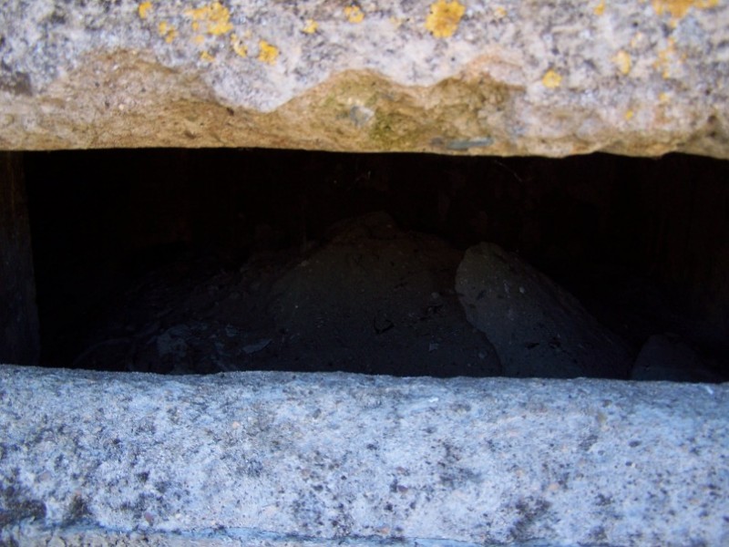
Now that I'm looking at the photos again, I'm wondering where the entrance is (was). Usually these kinds of Tobruks had the entrance at the squared-off end, but there is no trace of one. Maybe the slit on the side is the remains of an entrance, or this one in particular had an underground entrance.
SEP 11, 2012 - 02:42 AM

I think you are right. The slit is part of the entrance - it is certainly in the right place. It looks as if it has been partially infilled using concrete blocks (or similar), and the slit is a gap at the top. The photograph in the first post seems to show the upper two courses of blocks above the sand.
SEP 11, 2012 - 07:58 AM
Copyright ©2021 by Peter van Bezu. Images and/or videos also by copyright holder unless otherwise noted. The views and opinions expressed herein are solely the views and opinions of the authors and/or contributors to this Web site and do not necessarily represent the views and/or opinions of Armorama, KitMaker Network, or Silver Star Enterrpises. All rights reserved. Originally published on: 2012-09-09 00:00:00. Unique Reads: 8516

WEB HOSTING BY


Copyright ©2021 Armorama and Kitmaker Network, a subsidiary of Silver Star Enterprises
All Rights Reserved. Please read our Conditions of Use and Privacy Policy.
All Rights Reserved. Please read our Conditions of Use and Privacy Policy.